Mount Molar is a rural locality in the Toowoomba Region, Queensland, Australia. In the 2021 census, Mount Molar had a population of 117 people.
Geography
The Clifton - Leyburn Road forms the south-east boundary of the locality.
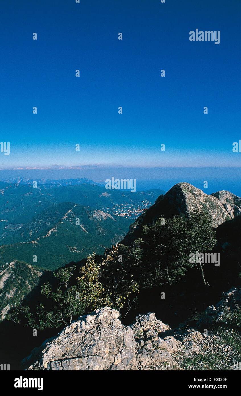
Mount Molar is a mountain in the south-east of the locality (27.9083°S 151.8566°E / -27.9083; 151.8566 (Mount Molar)) rising to 592 metres (1,942 ft) above sea level. The locality presumably takes its name from the mountain. There are 3 other unnamed peaks of 550 metres (1,800 ft) in the west of the locality.
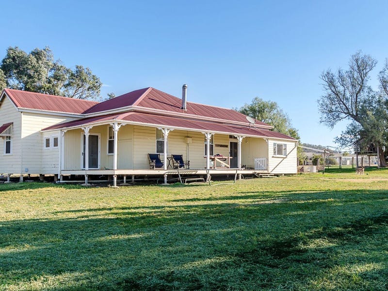
The land use is predominantly crop growing on the lower elevations with grazing on native vegetation occurring on the higher elevations.
Demographics
In the 2016 census, Mount Molar had a population of 115 people.
In the 2021 census, Mount Molar had a population of 117 people.
Education
There are no schools in Mount Molar. The nearest government primary schools are Back Plains State School in neighbouring Back Plains to the west, Nobby State School in neighbouring Nobby to the north-west, and Clifton State School in Clifton to the south-east. The nearest government secondary school is Clifton State High School in Clifton.
References